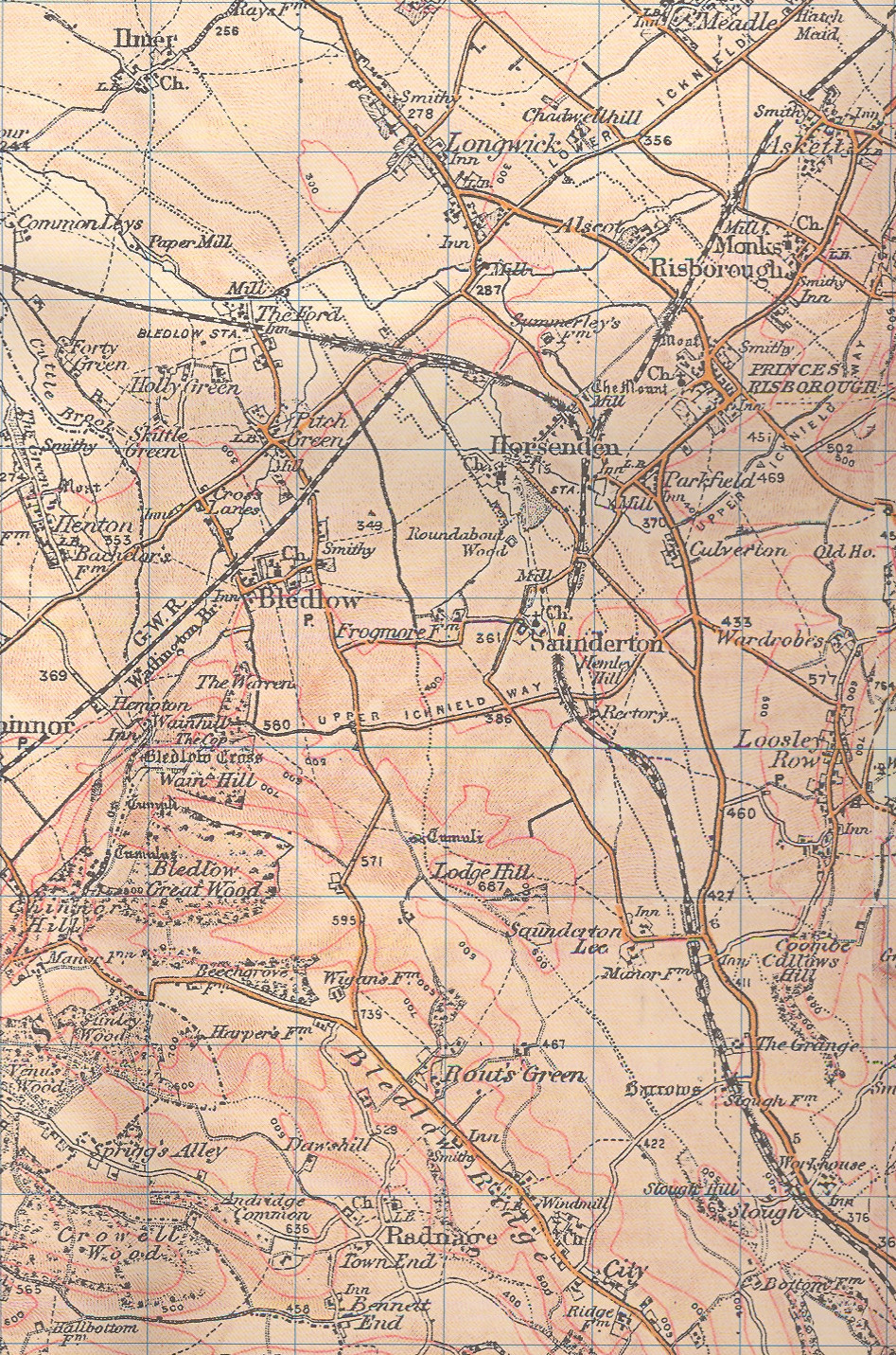
Maps
OS
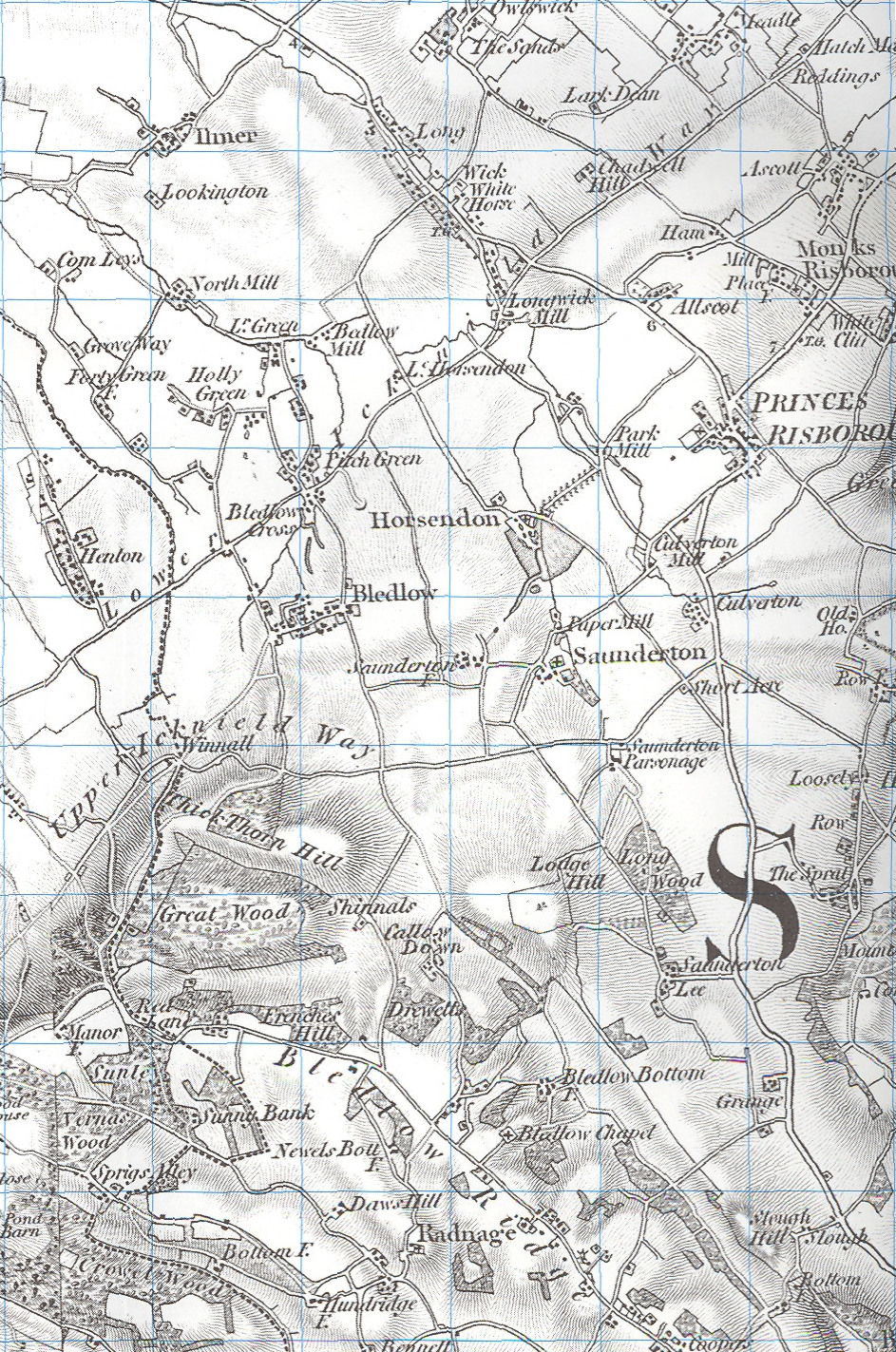
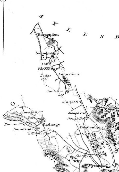
map 1834
|
1847
map
|
OS
map 1898
|
map images courtesy of © Cassini Publishing Ltd, www.cassinimaps.com
Old Series 165 and 1898 series 165
and the Ordnance Survey www.ordnancesurvey.co.uk
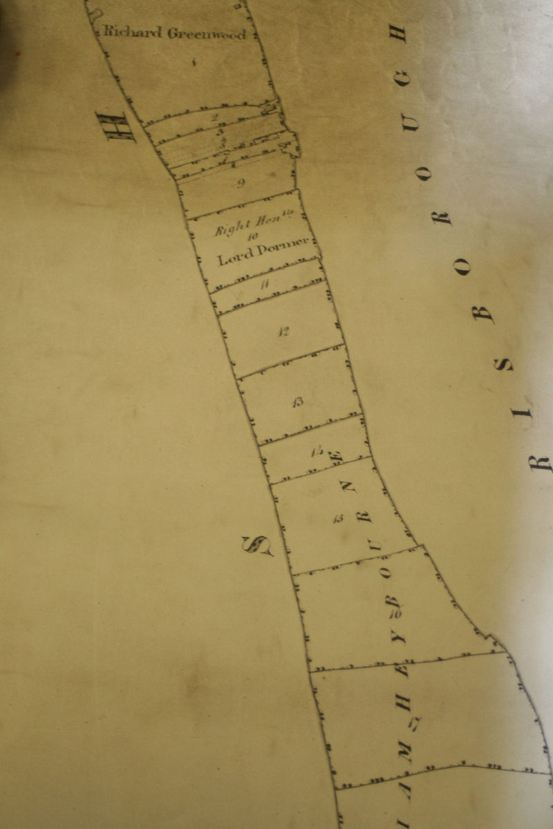
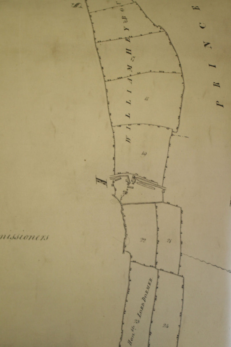
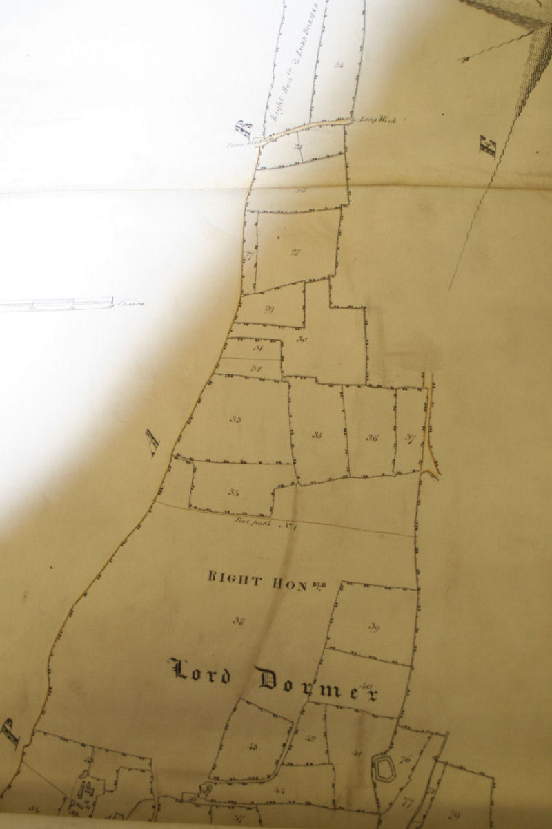
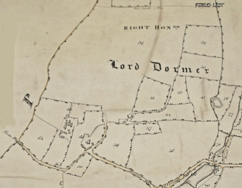
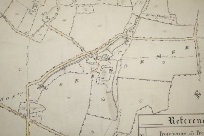
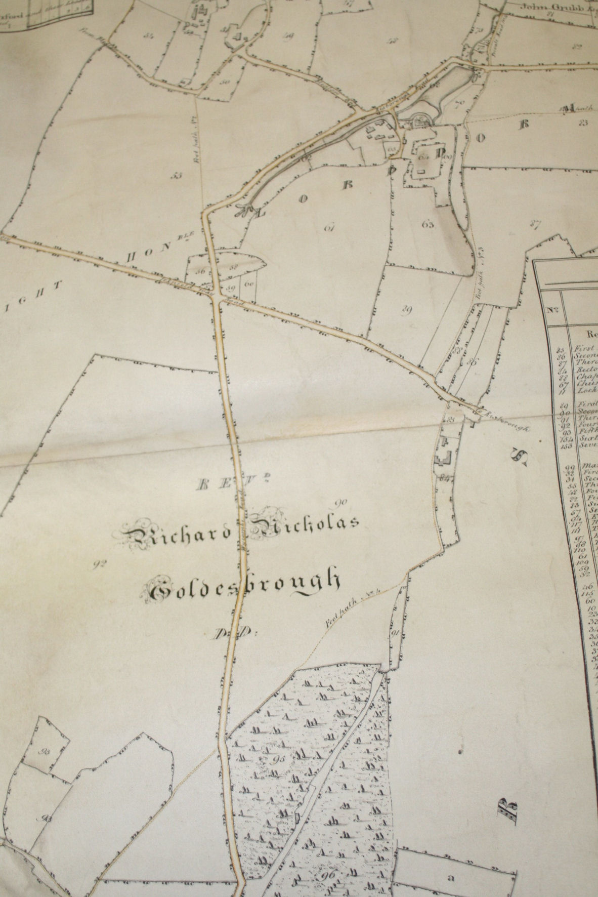
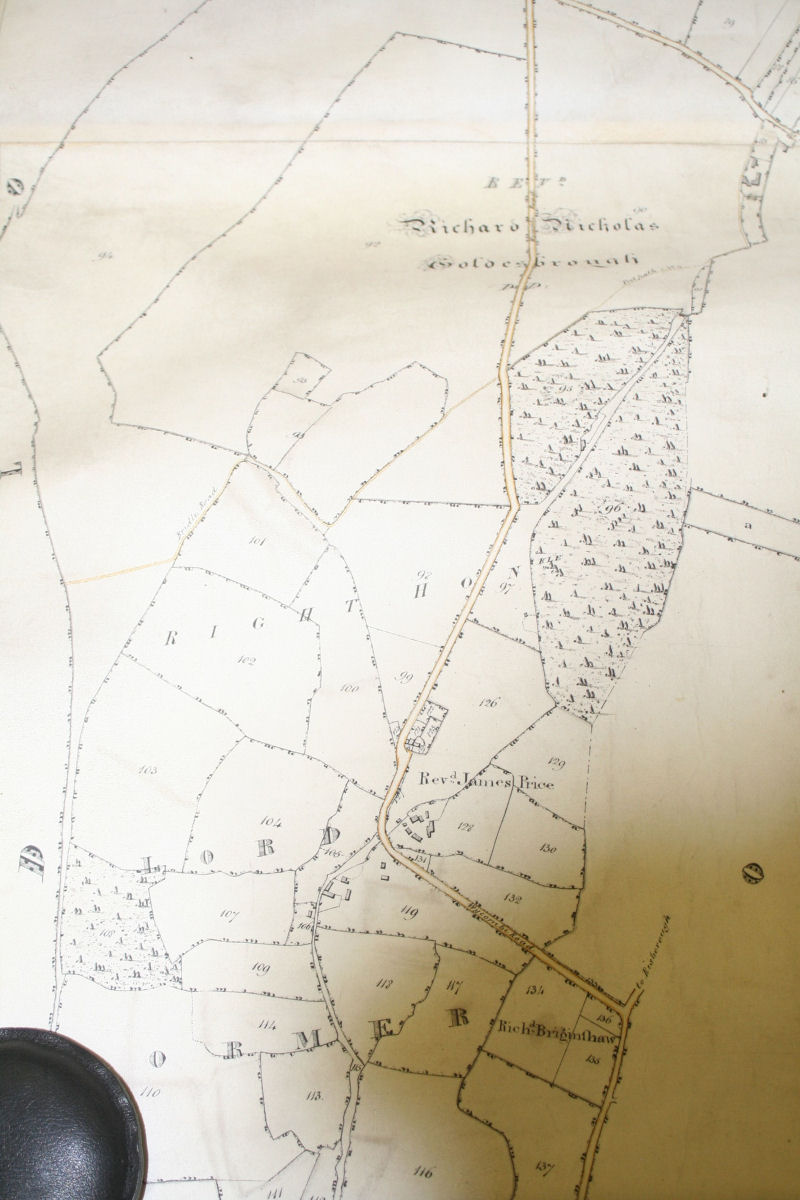
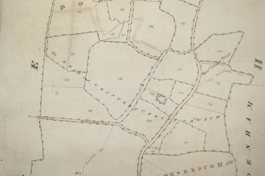
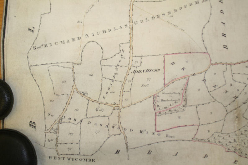
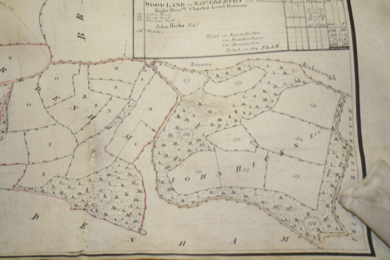
Enclosure map 1807
These images of various parts of the whole map are poor quality but interesting.
|
Lockington |
Frogmore Farm ------ |
|||
Also the
transcribed reference list (opens in a new window) which gives the owner of
each numbered parcel of land.
Lockington
|
Lower Mill BACK
|
B4009 to Horsenden BACK
|
Frogmore
Farm BACK
|
Church End BACK
|
Lee Road and The
Lee BACK
|
Grange Farm BACK
|
Slough Lane Cross roads BACK
|
|
Smalldean Lane BACK |
OS
map 1834 BACK
note there is no railway

1847
map BACK
OS
map 1898 BACK
here there is only 1 railway track